October 27: mild midweek weather, with rain chances later
The National Weather Service’s Las Vegas point forecast, updated at 12:11 a.m. Pacific on Tuesday, October 27, calls for a high near 79 Tuesday and around 77 Wednesday and Thursday. Tuesday afternoon winds may gust to 18 mph at this forecast point.
In its 4:21 a.m. regional discussion, NWS expects dry, seasonable conditions through Thursday. Rain chances return later in the week and into the weekend, but forecasters describe uncertainty about the path of incoming moisture and how much precipitation will reach the region.
The point forecast gives Las Vegas a 20% chance of showers and thunderstorms Friday, followed by additional rain chances over the weekend. That is an outlook, not a promise of rainfall at every address. Check the linked NWS forecast before making weather-sensitive plans; this article is not a live alert service.
Archived October 23 forecast: rain exits, then north winds increase
This section preserves the forecast checked on October 23 for October 23–25. Those dates have passed; use the October 27 update above and the current NWS links for upcoming conditions.
The National Weather Service's 3:31 a.m. Pacific discussion on Friday, October 23, says the shortwave that produced Thursday's showers and thunderstorms has moved northeast. Most of the forecast area should stay dry Friday, with only isolated 10% to 30% shower chances mainly across the northern half of the region.
For Las Vegas, the NWS point forecast calls for sunshine and a high near 71 Friday. North-northwest winds increase after midnight, with gusts as high as 29 mph, followed by a breezy Saturday morning and possible gusts near 31 mph. The valley forecast is dry and sunny Saturday and Sunday.
The broader forecast keeps stronger north or northwest gusts in parts of the region overnight and Saturday. NWS expects dry conditions across the area Sunday through Thursday with temperatures returning to seasonable levels. Recheck conditions for an exact location; this article is not a live warning service.
October 10–12: the earlier storm alerts ended
The flood watch for the Las Vegas Valley and much of southern Clark County, along with the separate Las Vegas Valley wind advisory, reached their scheduled 5 a.m. Monday expiration. A National Weather Service flash-flood statement issued Sunday evening said heavy rain had ended in northeastern Clark County and flooding was no longer expected to pose a threat there, while directing drivers to keep observing any remaining closures.
That resolution changes the immediate purpose of this report: the alerts are no longer active, but the storm’s measured rainfall, road impacts and cleanup remain useful context. Conditions can still vary by neighborhood, so any new warning should be checked directly through the National Weather Service rather than inferred from this expired alert package.
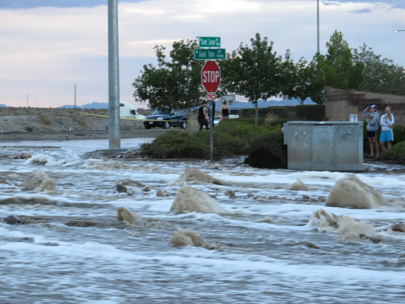
Rainfall and wind left visible impacts
KTNV reported 1.08 inches of rain at Harry Reid International Airport on Sunday. Earlier coverage cited a 0.75-inch airport figure from FOX5; the measurement windows behind the two reports have not been independently reconciled. FOX5 also reported more than 2.5 inches around Centennial Hills. Those reports should not be read as a uniform rainfall total for the valley.
Floodwater closed Koval Lane and Winnick Avenue near the Strip for part of Sunday, and wind brought down power lines near Lone Mountain and Camino Al Norte in North Las Vegas, according to FOX5. The report said crews later cleaned debris and reopened the affected roads; it did not establish that every storm-related repair across the valley was complete.
What to check after the storm
Drivers should continue to avoid any barricaded wash, low-water crossing or debris-covered road. Nevada 511 and the Regional Transportation Commission are the appropriate sources for current travel conditions; a road’s reported reopening Sunday does not guarantee that it remains clear after later cleanup or traffic incidents.
For a new weather threat, use the current National Weather Service Las Vegas forecast and alert products. This article records the October 10–12 storm and its aftermath; it is not a live emergency feed and should not be used as proof that a later advisory is active or inactive.
October 14 update and rainfall clarification
This October 14 update adds the expanded October 15–16 wind advisory and clarifies the airport rainfall paragraph. An earlier version presented FOX5’s 0.75-inch figure without noting that KTNV reported 1.08 inches. Both reports are now identified; their measurement windows and a final station total have not been independently reconciled. Current road-cleanup status also remains unconfirmed.
Sources & further reading
- NWS Las Vegas: October 27 early-morning forecast discussion · October 27, 2026 at 4:21 a.m. PDT
- National Weather Service: October 27 Las Vegas point forecast · Updated October 27, 2026 at 12:11 a.m. PDT
- NWS Las Vegas: October 23 early-morning forecast discussion · October 23, 2026 at 3:31 a.m. PDT
- National Weather Service: October 23 Las Vegas point forecast · Updated October 23, 2026 at 12:06 a.m. PDT
- NWS Las Vegas: October 19 afternoon forecast discussion · October 19, 2026 at 3:02 p.m. PDT
- National Weather Service: October 18 Las Vegas point forecast · Updated October 18, 2026 at 12:26 a.m. PDT
- National Weather Service: October 17 afternoon forecast discussion · October 17, 2026 at 3:41 p.m. PDT
- National Weather Service: October 15 wind advisory continuation · October 15, 2026 at 8:12 a.m. PDT
- National Weather Service: October 15 afternoon forecast discussion · October 15, 2026 at 2:45 p.m. PDT
- National Weather Service: Las Vegas point forecast · Updated October 10, 2026 at 3:43 a.m. PDT
- FOX5: heavy rain, thunderstorms and 45–55 mph gusts expected · October 9, 2026; updated October 10
- News 3: Saturday forecast and southern Nevada flood risk · October 10, 2026
- National Weather Service: northeastern Clark County flash-flood warning expires · October 11, 2026 at 5:07 p.m. PDT
- FOX5: Rachel brings the airport’s wettest day in more than a year · October 9, 2026; updated October 12
- FOX5: flooded roads near the Strip cleaned and reopened · October 11, 2026; updated October 12
- Nevada 511: current road conditions
- National Weather Service: expanded October 15–16 wind advisory · October 14, 2026 at 1:16 p.m. PDT
- National Weather Service Las Vegas: October 14 forecast discussion · October 14, 2026 at 4:31 p.m. PDT
- National Weather Service: October 12 flood-watch expiration bulletin · October 12, 2026 at 4:57 a.m. PDT
- KTNV: Sunday flooding and reported airport rainfall · Reviewed October 14, 2026
- National Weather Service Las Vegas: flood watch · October 10, 2026 at 10:58 a.m. PDT
- National Weather Service Las Vegas: wind advisory · October 10, 2026 at 12:58 p.m. PDT
Join the conversation
Loading discussion…